Brief description of the Lena River: location, hydrological regime and economic use
Lena is a majestic and mighty river, one oflargest waterways of Asia, collects its waters from the vast expanses of Siberia. Its pool is completely within the limits of one state - Russia. In this article you will find a brief description of the Lena River, in particular its geographic location, water regime and shipping features.
Plan of the description of the river Lena
All rivers are usually described according to a certainalgorithm, which includes several mandatory aspects. It provides for a comprehensive description of the watercourse for individual components. Thus, the plan for describing the Lena River in our article will have the following form:
- The name of the river, as well as the history of its origin.
- Geography of the river (geographical location, source and estuary, river basin area, river system structure, enumeration of large tributaries, etc.).
- Hydrology of the river (average monthly water discharge, water regime features, freezing and opening of the watercourse, etc.).
- Specificity of economic use of the river by a person (population of the coast, shipping, large ports and bridges on the river, protection of water and shores, etc.).
The Lena River: A Brief Description
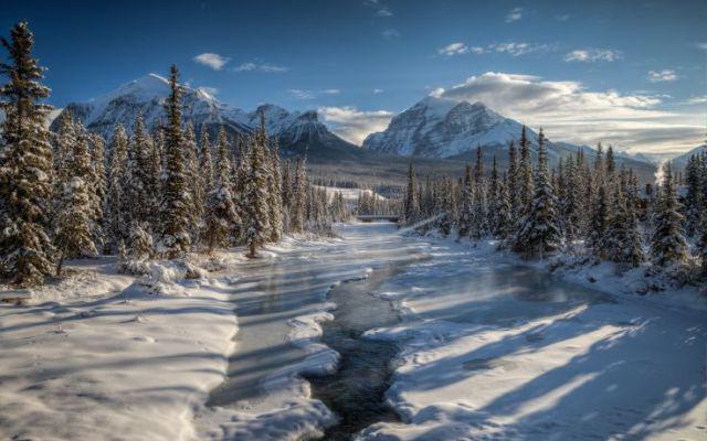
Lena closes the first ten rivers along the length in the world(4270 km). This is one of the largest waterways in Russia. This river has one amazing feature: it freezes in one direction (from the mouth to the upper reaches), but is opened - in the opposite direction.
The description of the river Lena is logical to start withexplanation of the origin of its name. Strangely enough, it is not at all connected with the female name. This hydroponics has Evenki roots and originally it sounded like "elu-ene", which means "great river". Over time, this name was transformed in Russian pronunciation to the more familiar sounding word "Lena".
Geography of the river
The description of the Lena River, flowing through the expanses of Siberia, will be incomplete without a detailed description of its geographical location. Where does it originate, in what direction does it flow and where does it go?
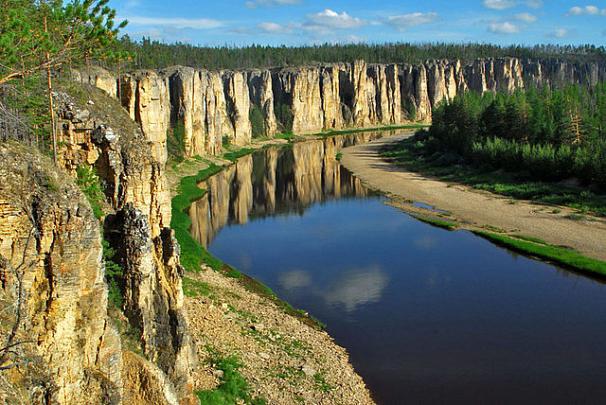
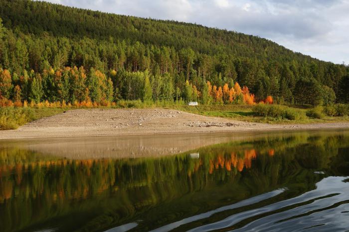
Lena and all her numerous tributaries collectIts waters from the vast territories of Eastern Siberia. This is about 2500 thousand square kilometers. The river originates from a small lake, which, in turn, is practically a neighbor of Lake Baikal. In its upper reaches, Lena carries its waters through the dismembered territories of the mountainous Baikal region. The average flow of the river is characterized by one very interesting feature. Here, Lena has absolutely asymmetric shores: the left is low and gentle, and the right is represented by the steep and steep edge of the Patom Upland.
Lena flows into the Laptev Sea. In the lower reaches it is already a giant watercourse, which reaches a width of 10 kilometers! At a distance of 150 kilometers from the mouth of the Lena formed a wide delta.
On its long way to the sea, the river takes in a myriad of tributaries. However, the largest and most significant among them are four: Aldan, Viluy, Vitim and Olekma.
Hydrology of the river
The peculiarities of the hydrological regime are one of thethe main aspects, which is included in any physical and geographical description of the river. Lena is fed by snow and rain water. It is characterized by a powerful spring flood, which accounts for about 40% of the entire runoff, several summer floods and low autumn and winter low water.
The maximum monthly average water discharge was recorded in June, reaching 60,000 m3/ sec.
A very powerful sight is the spring ice drift on the Lena, which, as a rule, is accompanied by stormy congestion. The river begins to open in April in the upper reaches, and ends - in June in the mouth area.

Population of river banks and shipping
Economic use of the river is sufficientweak, since Lena flows through extremely low-populated areas. Along its bed there are only six small cities. In the largest of them - Yakutsk - there are only 300 thousand people. Swimming on the river, you can not see hundreds of kilometers of anything, except for a deaf taiga.
On the entire length of Lena there are only 4 bridges. In the populated areas Siberians cross the river with the help of ferries or winter roads.
Surprisingly, Yakutia is one of those regionsEarth, where the main transport artery is the river. It is Lena that is the most important highway in this region, where people, raw materials and cargo are transported. The navigation period lasts about 150 days a year. The main ports on the river are the following:
- Sangar.
- Yakutsk.
- Pokrovsk.
- Olekminsk.
- Lensk.
- Kirensk.
- Sturgeon.

Finally...
Lena is one of the largest river systemsRussia, which is completely located within its borders. In addition, it is also the most important transport highway of Siberia, connecting a few of its proud and villages.
The brief description of the Lena River, proposed in this article, gives us a comprehensive and clear idea of its main geographical features, water regime and level of economic development.
</ p>