We study the rivers of Bashkortostan
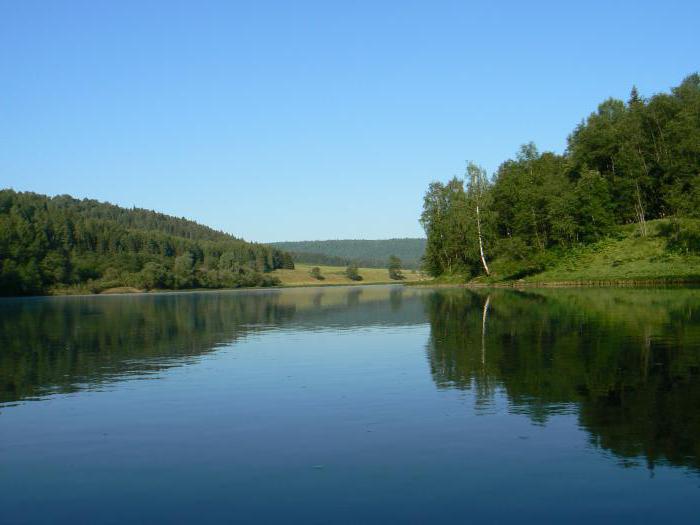
The Republic of Bashkortostan is located in the mountainousterrain. These are the regions of the Urals and the Southern Urals (western slope). The highest point is Mount Yamantau (1640 m). The rivers and lakes of Bashkortostan are famous for their fishing places. There are about 15 thousand of them (about 12 thousand rivers, about 2.7 thousand lakes). All streams here are many-water, as there are many underground sources on the territory of the republic. Almost all lakes have an oblong shape. The rivers are characterized by a characteristic rapid current. White, Ufa, Sakmara, Ai-rivers of Bashkortostan, the list of which can be continued indefinitely. Further in the article, some water flows of the republic are described in detail.
The White River
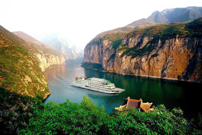
Telling about the rivers of Bashkiria, at first it would be desirabledescribe a water stream called the "White River". This is the largest influx of Kama in the Southern Urals and in the Urals. It flows on the territory of Bashkortostan and even along the border with Tatarstan. It is considered to be the longest river in Bashkortostan.
White originates in the mountains, but closer tolowlands tapers. Its banks are steep and hidden in dense forests. The valley widens slightly at one of the tributaries of the Nugush River. The watercourse creates a lot of sleeves, as it flows through the mountainous areas. Replenishes its stocks with snow. On the banks of the river you can find poplars, willows, dogrose and blackberries. In the water area there is an incredible amount of fish.
The upper reaches of the Belaya River are very popularamong tourists. The best entertainment in the summer is rafting on a raft or boat. The rivers of the Republic of Bashkortostan play a significant role in the development of the state. White is no exception. It is through it that the most important transport routes pass.
The Ufa River
The largest tributary of the Belaya River, locatedin the Urals, - the watercourse of Ufa. He is born from the lake of Ufa. This river is mostly mountainous, it flows through many crevices and rocks. Down stream calms his temper. Closer to the place where Ufa flows into the Ai River, the watercourse is considered a semi-mountain stream. Pavlovskaya HPP and main reservoirs are located on the river bed. The Ufa watercourse has 16 tributaries.
The rivers of Bashkortostan are loved by travelers. For example, in the upper reaches of Ufa you can meet athletes performing kayak rafting.
Not far from the village of Araslanovo is the reserved territory of the Chelyabinsk region, which is under protection.

Sakmara River
Sakmara is a river that crosses the territoryBashkortostan and the Orenburg region. Its source is located at the ridge of Uraltau, then the water flow advances to the south along a wide valley, and passing through a deep gorge, turns to the west. The river replenishes from the snow and ice cover of the mountain peaks.
Sakmara is a deep-water, with a strong currentwatercourse, however, almost all rivers of Bashkortostan have such a character. A more calm flow behavior can be observed only near Orenburg. The water temperature in the river does not exceed the threshold of +23aboutWith even the summer. Its banks are surrounded by rocks. The most beautiful point on Sakmara is the site of the annexation of the river Zapovednaya Zilair. The rocks in this place look like castles or fortresses.
The Lemesa River
One of the rivers of the South Urals is Lemes, a tributary of the riverSim. It crosses the Chelyabinsk region, as well as some areas of Bashkortostan. The water flow in the valley between the summit of Amshar and the Dry mountains is emerging. Passes from the south to the north-west, where it joins the river Sim.
The river is replenished due to abundant snow deposits, which are so rich in this area. With the advent of the first days of winter, the surface of Lemez is covered with ice, and only in April it is opened.
The upper course of the river passes throughThe South Ural Mountains, the lower one lies in the plains. Due to these reasons, flora on the coast varies, there is a change of coniferous forests mixed, where there are common elms and limes. In the lower reaches, deciduous trees predominate. River fauna includes representatives of families: perch, roach, pike.

The river Uy
Uy - the river belonging to the Northern BasinThe Arctic Ocean carries its waters to the east. The water level is maintained by melting snow. Flood often occurs in April or May. The river freezes in November.
At the foot of the Alabiya ridge, the watercourse of Ui originates. Further it flows along the Uytash mountain and flows into Tobol, which is near the village of Ust-Uyskoye in the Kurgan region.
The coastline surrounding the rivers of Bashkortostan,differs by picturesque landscapes. The waters of Uyay in some places are almost covered by forests, but there is also an open terrain. The territory is used mainly for pastures. The relief of the river is flat. The riverbed splits into sleeves, which, merging, form numerous islands. Also downstream there are often rapids.
On the river there is a reservoir and water supplystation, which appeared during the construction of the Troitskaya GRES. Slightly higher were built dams to provide water to the nearest villages. Not far from the river are also quarries.

Ai River
Ay - river in the Southern Urals, the left tributary of the river Ufa. Along the coast are settlements of the Chelyabinsk region. Two more reservoirs and several ponds have been built on the river. The beginning of Ay takes between the Ural ranges. Descent along the river is made through the Chelyabinsk region and Bashkortostan. The surrounding areas are very picturesque, they simply fascinate with their beauty. The banks are covered with forests and shrubs. Often there are grazed horses, scurrying rodents.
We hope that the information on the main rivers of Bashkortostan, stated in this article, will help in studying such a wonderful land.
</ p>